 |
 |
 |
 |
 |
 |
 |
 |
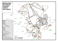
Projection Analysis and Georeferencing
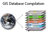
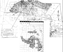
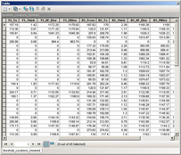
Third Party Borehole Collor and Elevation data that is incorporated in GIS Compilation
DataCapture and Vectorisation
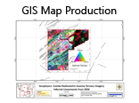
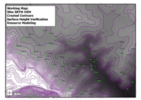
Spatial Modelling of Contours for Surface Height Verification to be Utilsed in Resource Modelling

| Website updated 2026 I Copyright 2026 Gisnet cc I All rights reserved |
| Website designed by KLA Consulting cc I www.klaconsulting.co.za |